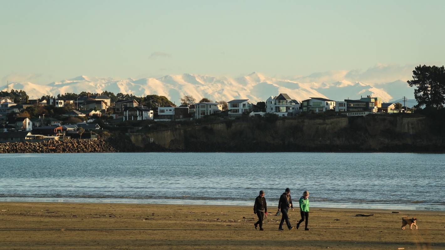
Niwa’s seasonal climate outlook shows a chance of above average temperatures and near normal rainfall for coastal Canterbury for the coming months.
After record rainfall in July, residents of coastal South Canterbury can expect a chance of above average temperatures over the next three months, but there is potential for more rain -according to the National Institute of Weather and Atmospheric Research.
The Niwa seasonal climate outlook for August to October says there is a 55% chance temperatures for coastal Canterbury are most likely to be above average.
“More northeasterly winds may lead to more cloud cover and warmer overnight temperatures,” the outlook says.
Rainfall totals are likely to be near normal (40% chance) or above normal (35% chance).
READ MORE:
* ‘Bone-dry’ March for Aoraki/Mt Cook and Lake Takapō/Tekapo
* Huge rainfall ends Aoraki/Mt Cook’s record dry spell
* Wellington weather in 2021: a record-breaking year of heavy rainfall, above-average temperatures
* South Canterbury towns included in multiple lists in Niwa’s annual climate summary
“Several heavy fronts are likely in the High Country during the first week of August. The potential for more frequent onshore winds during spring could lead to more wet days.”
Soil moisture levels and river flows are most likely to be near normal (45% chance).
Niwa’s climate summary for July shows rainfall in Aoraki/Mt Cook Village hit 725 millimetres for the month, which is 273% of the normal fall, and the highest July rainfall for the area since Niwa records began in 1928.
Timaru Airport’s rainfall total for July was 199mm, which is 432% of the normal fall for the month and the highest July rainfall total since Niwa records began in 1881.
AIMAN AMERUL MUNER/Stuff
The 199mm of rain which fell at Timaru Airport in July was the highest July rainfall at the site since Niwa records began in 1881. (File photo)
Lake Tekapo’s rainfall total for July was 152mm, which is 306% of normal and its fourth-highest rainfall total for the month since records began in 1925.
Record, or near-record, extreme one-day rainfall totals were recorded at Aoraki/Mt Cook Village with 371mm on July 18, its highest since 1928. Waimate recorded 90mm of rainfall on July 26, its second highest since records began in 1898, and Ōamaru with 50mm of rain on July 12, its fourth highest since 1950.
Record or near-record extreme wind gusts were recorded at Aoraki/Mt Cook Airport with 130kmh on July 18, its third-highest wind gust since 2000, and at Ōamaru with 85kmh on July 18, its equal third-highest wind gust since 1984.
Tai Naka/Mountain Safety Council
Aoraki/Mt Cook Airport made the records list for July with the lowest temperature recorded in the month -11.6C on July 17.
Aoraki/Mt Cook Airport was the coldest place in New Zealand, with the lowest temperature recorded in the month -11.6C on July 17.
The summary said it was New Zealand’s fourth-warmest July on record, with the nationwide average temperature 1.3C above average.
According to the summary, July was “an extraordinarily” wet month, and nationally it was the wettest July on record. The vast majority of the country observed well above normal (more than 149% of normal) rainfall.
Twenty locations experienced their wettest July on record and near-record wet months for a further 25 locations.
David White/Stuff
Niwa forecaster Nava Fedaeff said there were a multitude of drivers behind the wet and warm weather during July. (File photo)
Niwa forecaster Nava Fedaeff, author of the July climate summary, said there were a multitude of drivers behind the weather experienced in the month.
“The overall air pressure pattern saw higher than usual pressures to the northeast and southwest of the country, and was associated with more northerly quarter air flows (warm and wet airmass origin),” Fedaeff said.
“This dominant pressure set-up allowed for consecutive low-pressure systems to approach from the northwest which were supplied with flows of tropical moisture from the Coral Sea.
“The high pressure to the northeast of the country blocked the lows from moving away quickly and prolonged rainfall. This pattern was quite different from the southerly and south-westerly systems which are more characteristic of NZ winters.”

التعليقات